© Visit Luxembourg
Guttland Germany France

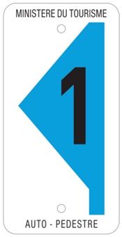
Auto-pédestre trail Bertrange

Starting point
Bertrange-Leudelange road, car park at the edge of the forest
Destination
Bertrange-Leudelange road, car park at the edge of the forest
Distance
7,31 km
Duration
1:49 h
Difficulty
easy
  • Condition
Highest point
313 Hm
Lowest point
282 Hm
Aggregated Ascent
31 Hm
Aggregated Descent
31 Hm
Circular routes Visit Luxembourg

Description

Circular walk Bertrange

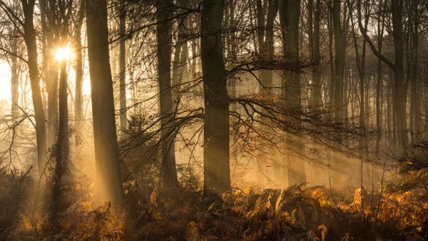
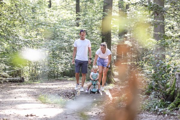
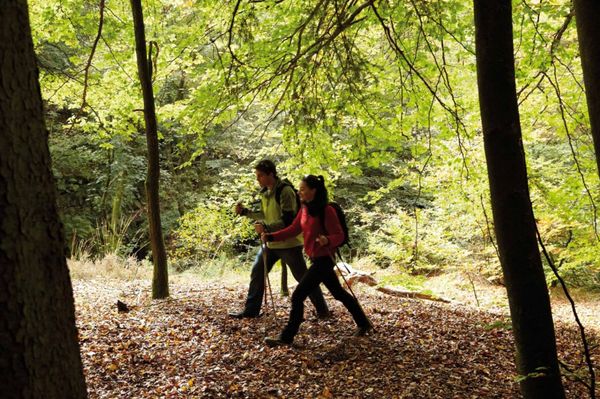
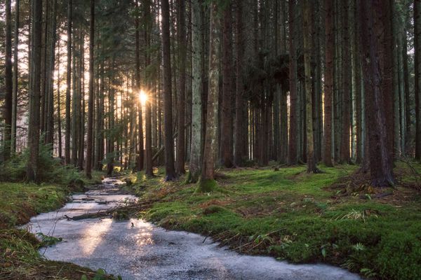
We walk in a long circuit through the commu­nity-owned forest Ënneschte Bësch. At the halfway point, we pass Leudelange station.

Please make sure to enable your Cookies in case you don't see this content.

Similar hiking tours

© Pancake! Photographie, Visit Guttland
Thematic paths
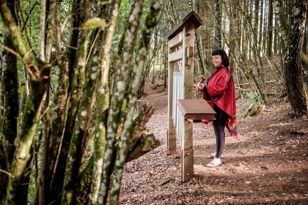
Nature walk 'Meditation path' Rindschleiden
Distance: 1,49 km
Duration: 0:25 h
Difficulty: easy
Find out more
© Jeniska Photography, Visit Guttland
Guttland.Trails
Guttland.Trail Biisser Weier
Distance: 9,04 km
Duration: 2:35 h
Difficulty: easy
Find out more
Distance trails
36 Station to station Leudelange - Mamer Lycée - Mamer
Distance: 10,96 km
Duration: 2:45 h
Difficulty: easy
Find out more
© Visit Luxembourg
Circular routes
Auto-pédestre trail Eischen 2
Distance: 5,21 km
Duration: 1:34 h
Difficulty: easy
Find out more
© Alfonso Salgueiro Photography , Visit Luxembourg
Circular routes
Local Hiking Trail Saeul - SA1
Distance: 4,86 km
Duration: 1:30 h
Difficulty: easy
Find out more
© Visit Luxembourg
Circular routes
Auto-pédestre trail Beringen
Distance: 5,85 km
Duration: 1:45 h
Difficulty: easy
Find out more
© Sophie Margue, DGT
Comfort hiking trail Bissen
Distance: 3,08 km
Duration: 1:00 h
Difficulty: easy
Find out more
© Visit Luxembourg
Circular routes
Auto-pédestre trail Bridel
Distance: 7,26 km
Duration: 2:00 h
Difficulty: easy
Find out more
© Alfonso Salgueiro, Visit Guttland
Circular routes
Auto-pédestre trail Gréngewald
Distance: 4,96 km
Duration: 1:20 h
Difficulty: easy
Find out more