© Pancake! photographie, Visit Luxembourg
Guttland Germany France

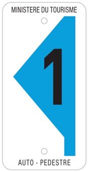
Auto-pédestre trail Lorentzweiler

Hunting Season 2024/25 — Check for hunts before hiking

Autumn is here, and that means hunting season has begun! From mid-October to January/February, hunters are active across the country. Stay safe by checking hunt dates in your area on our Map. 

Click on Map in the Header > Services > More > Hunting.

Starting point
Train station Lorentzweiler
Destination
Train station Lorentzweiler
Distance
9,05 km
Duration
2:42 h
Difficulty
difficult
  • Condition
Highest point
439 Hm
Lowest point
226 Hm
Aggregated Ascent
255 Hm
Aggregated Descent
255 Hm
Circular routes Visit Luxembourg

Description

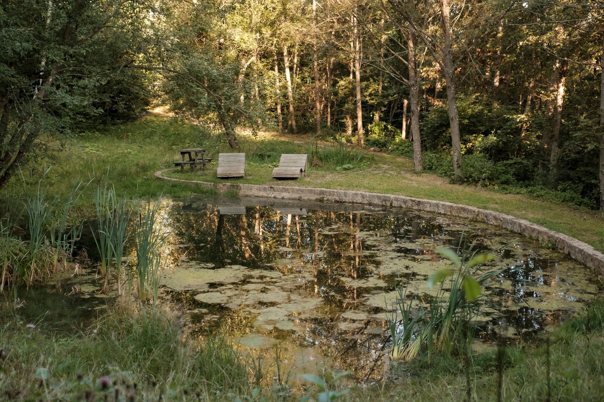
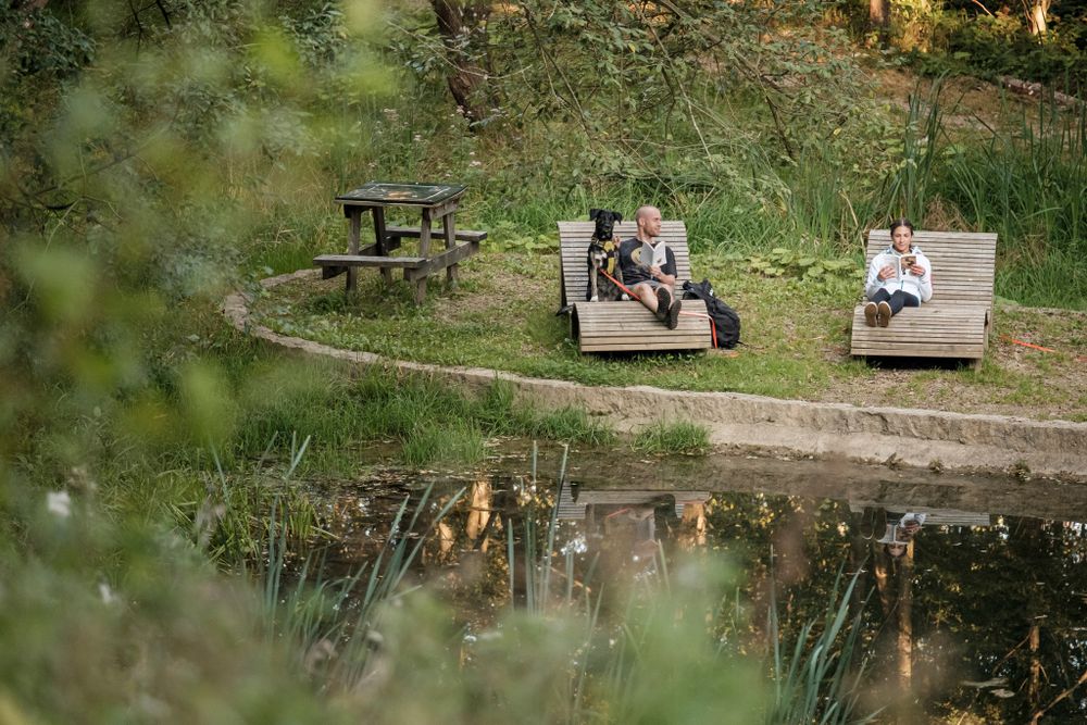
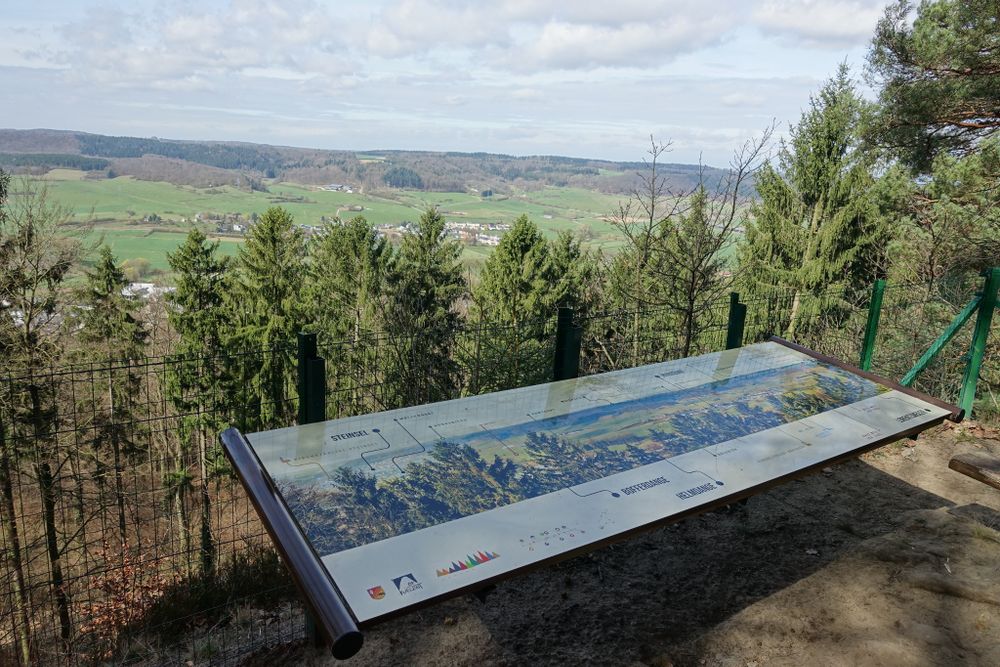
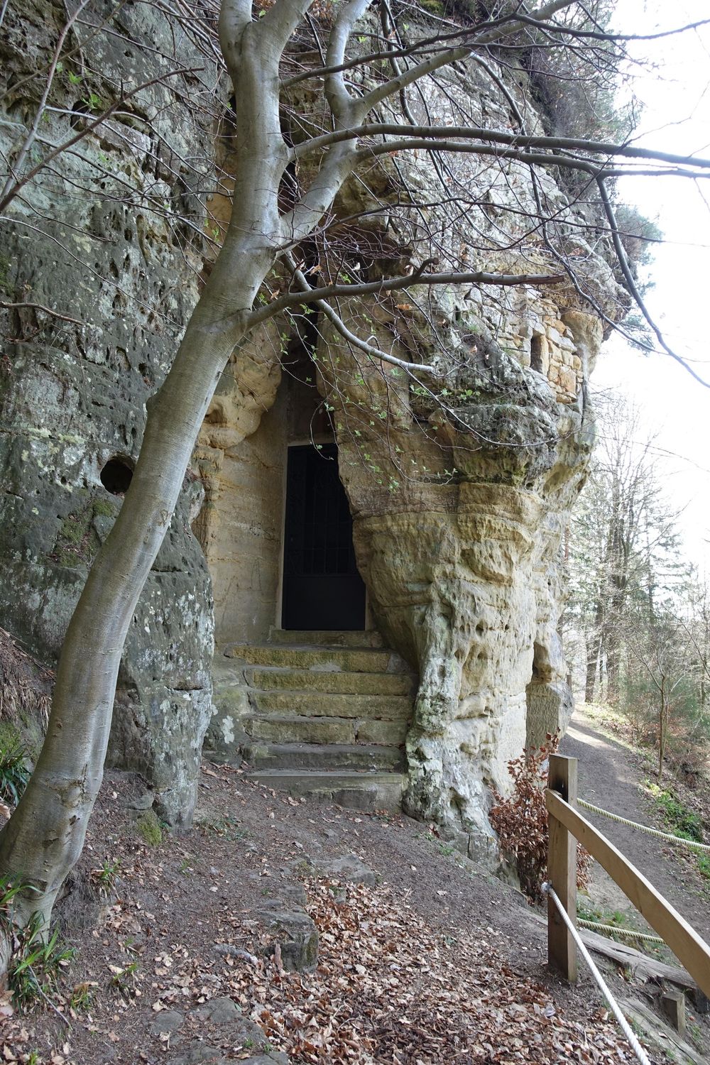
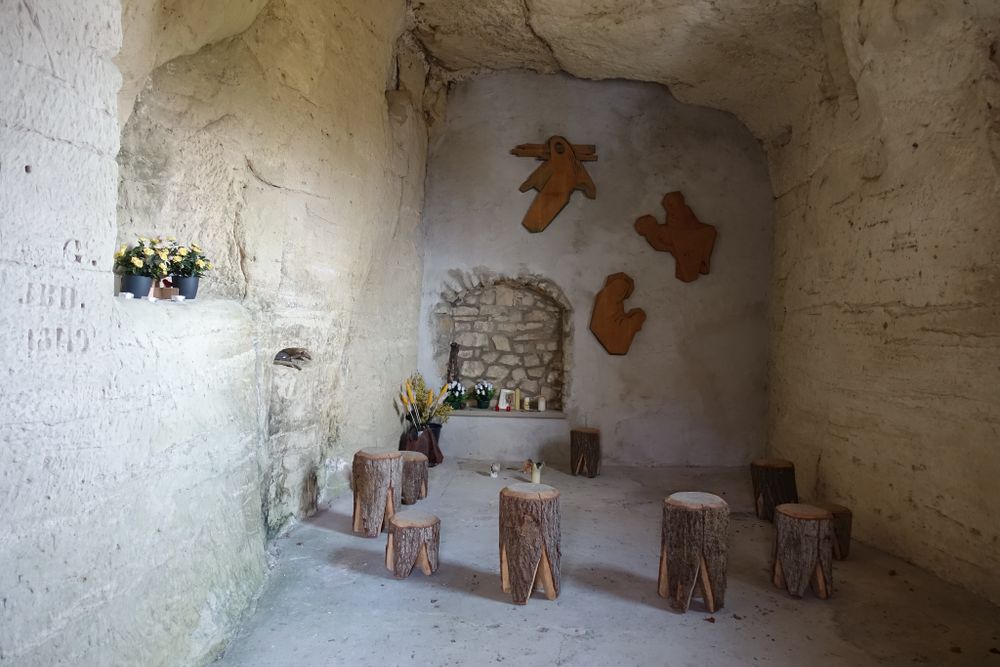
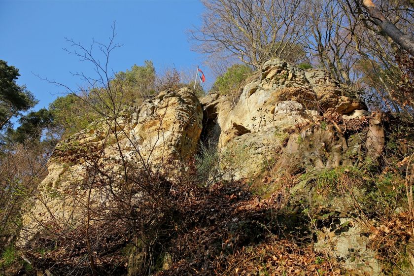
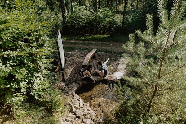
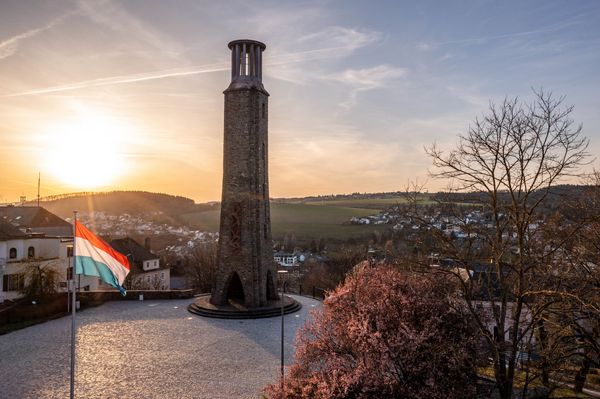
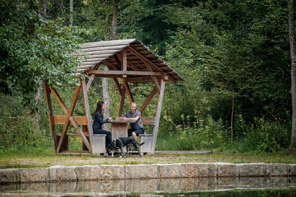
This path connecting Lorentzweiler and Blaschette passes through field and woods along a section of the national “Sentier de l’Alzette” stage trail. The return journey then passes in front of the Fautelfiels chapel.


Suggestions nearby

Auto-pédestre trail Lorentzweiler

  • Chapel Fautelfiels
    Chapel Fautelfiels
    Find out more

Similar hiking tours

© Jeniska Photography, Visit Guttland
Guttland.Trails
Guttland.Trail Raschpëtzer
Distance: 5,87 km
Duration: 1:50 h
Difficulty: difficult
Find out more
© Visit Éislek
Distance trails
Liberation Route Europe (Luxemburg)
Distance: 253,23 km
Duration: 73:30 h
Difficulty: difficult
Find out more
© Pancake!, Visit Luxembourg
Circular routes
Auto-pédestre trail Lintgen
Distance: 12,40 km
Duration: 3:50 h
Difficulty: difficult
Find out more