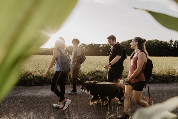
© Jeniska Photography, Visit Guttland
Guttland Germany France

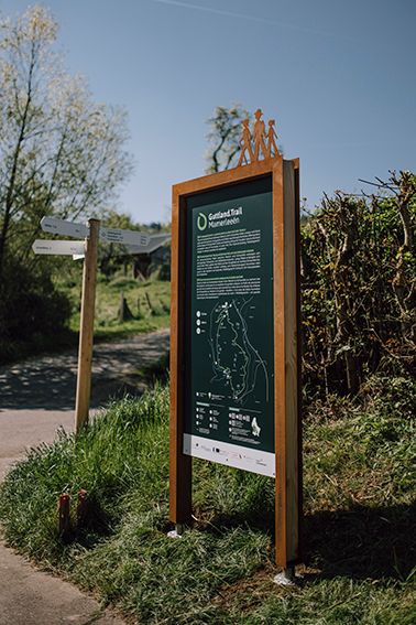
Guttland.Trail Mamerleeën

Hunting Season 2024/25 — Check for hunts before hiking

Autumn is here, and that means hunting season has begun! From mid-October to January/February, hunters are active across the country. Stay safe by checking hunt dates in your area on our Map. 

Click on Map in the Header > Services > More > Hunting.

Starting point
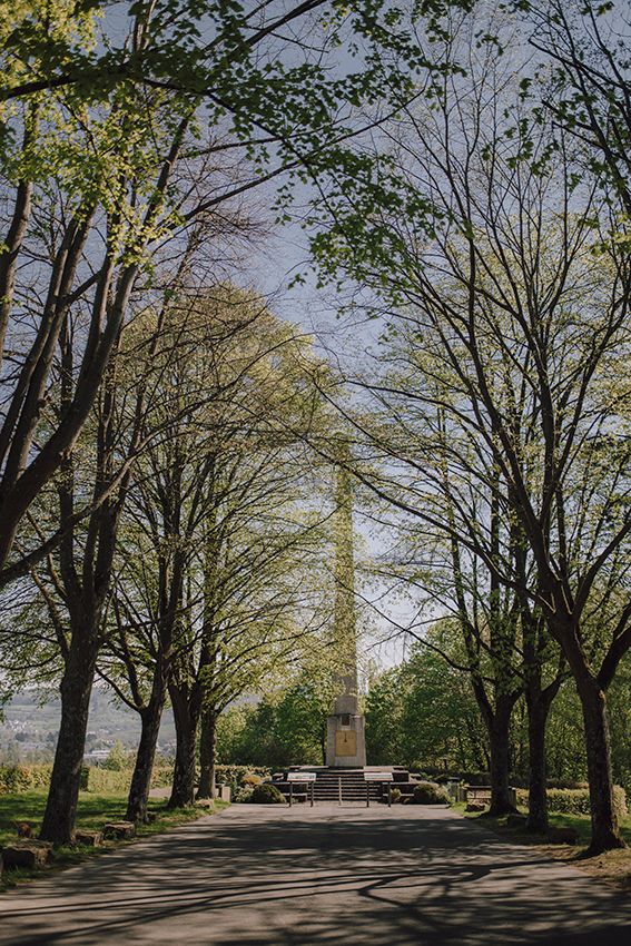
Monument national de l'indépendance 'Obelisk' - Mersch, Krounebierg
Destination
Monument national de l'indépendance 'Obelisk'- Mersch, Krounebierg
Distance
7,53 km
Duration
2:25 h
Difficulty
medium
  • Condition
Highest point
368 Hm
Lowest point
248 Hm
Aggregated Ascent
233 Hm
Aggregated Descent
233 Hm
Guttland.Trails Visit Luxembourg

Description

Scenic Dog-friendly

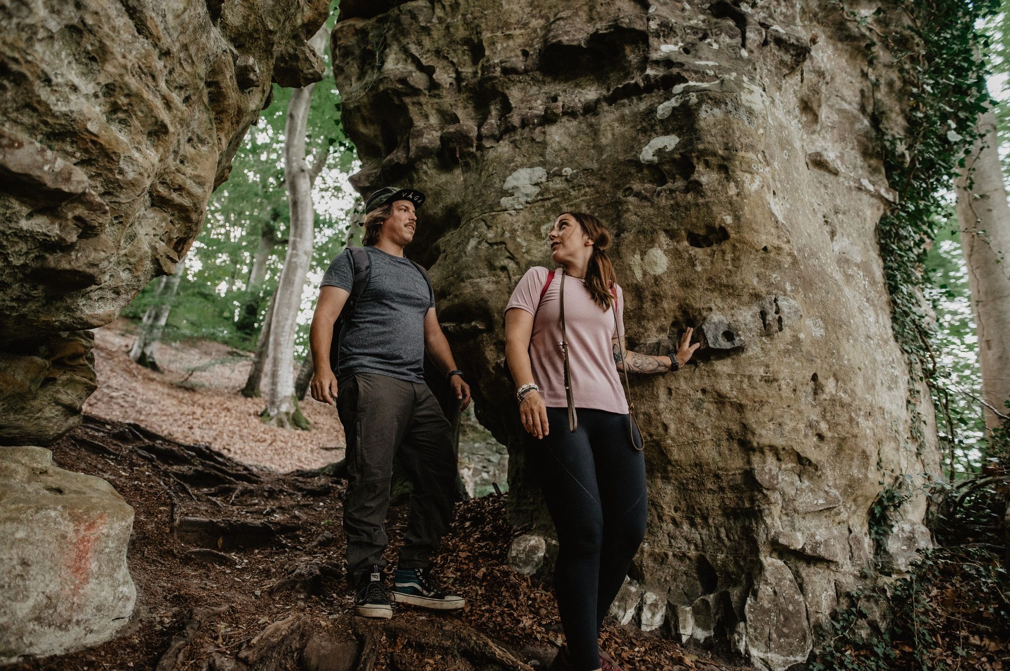
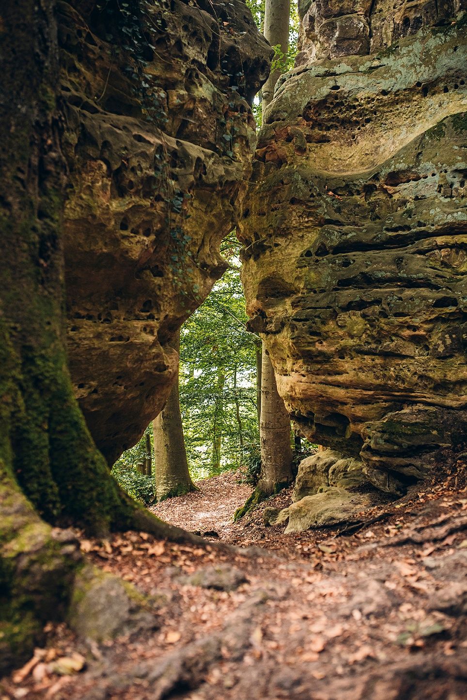
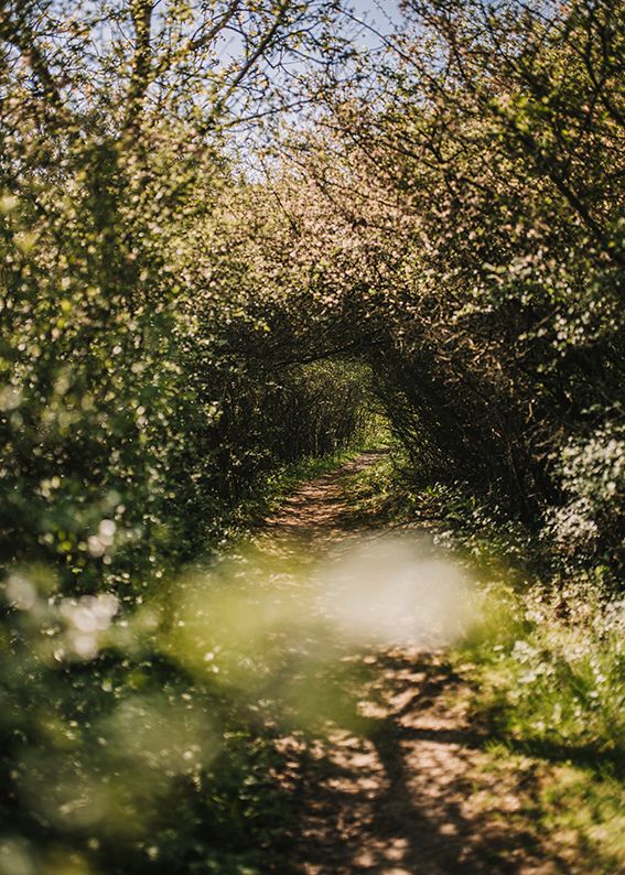
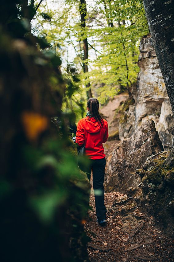
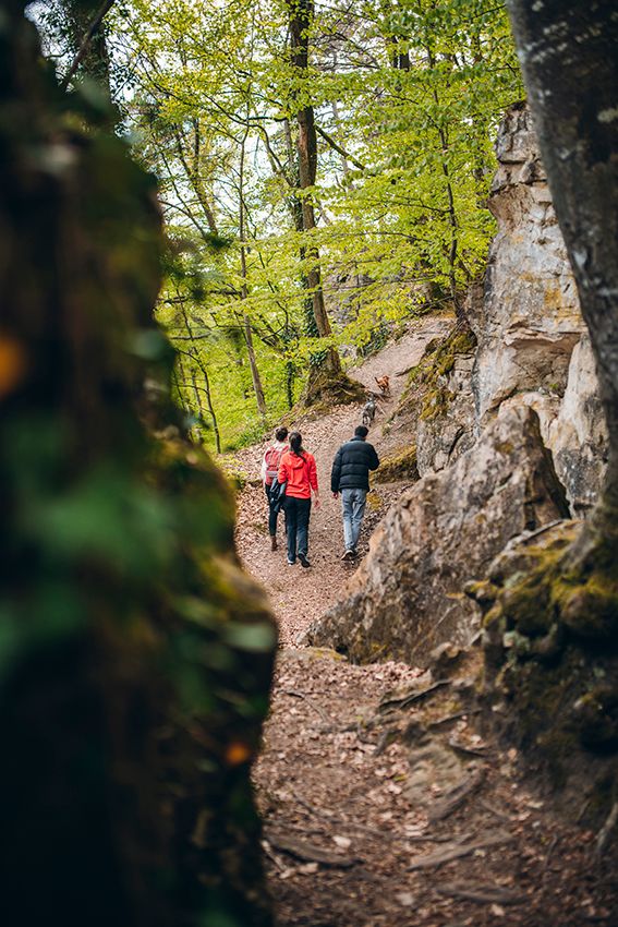
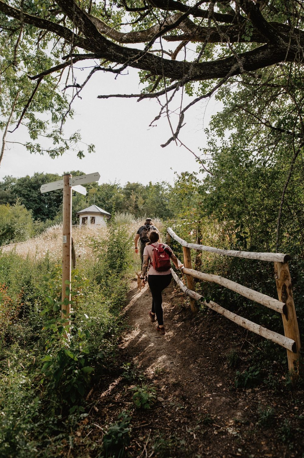
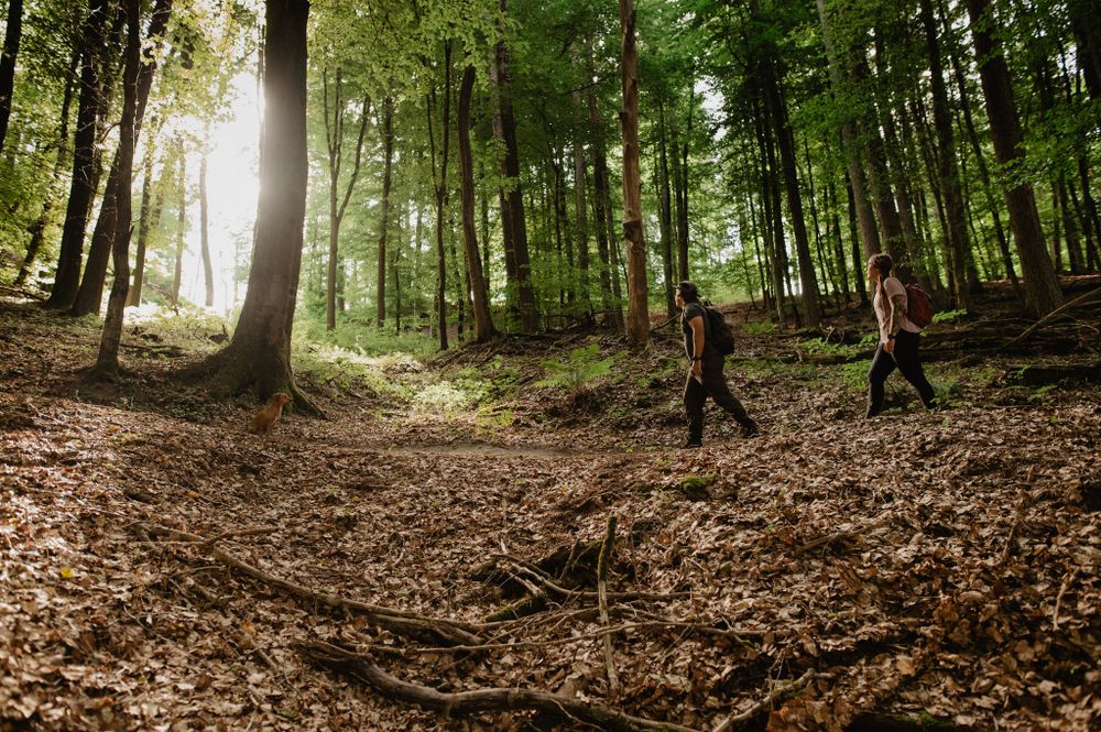
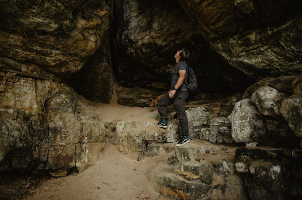
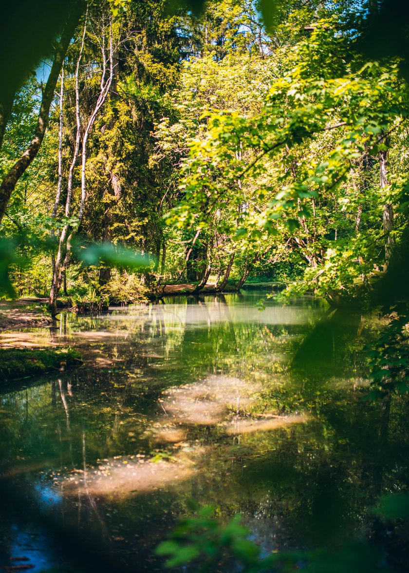
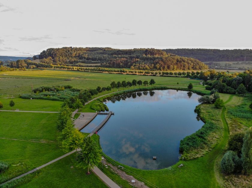
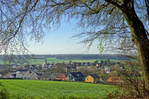
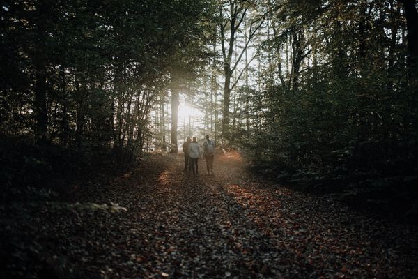
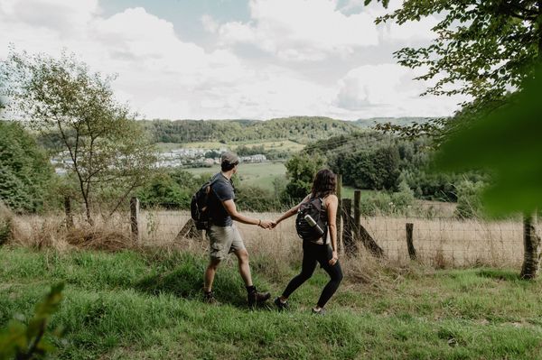
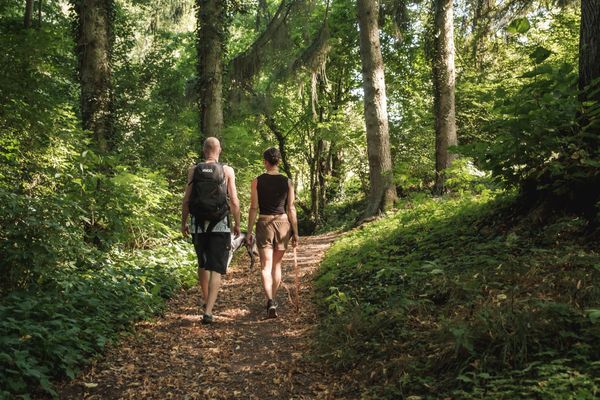
Hidden away in the enchanted forest between Mersch and Schoenfels are many unique, impressive rock and cave formations which will make the hearts of every nature lover beat faster. 

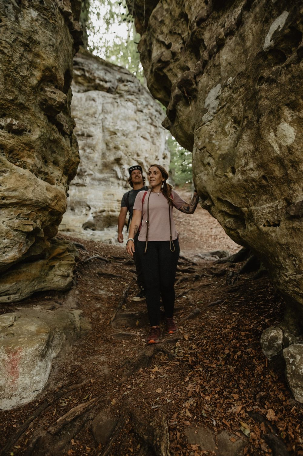
The highlight of this circuit has to be the "Mamerleeën", a complex of both natural sandstone caves and a network of artificial tunnels. This cave system extends over a thousand metres. Particularly spectacular is the "Huellee" cave, with its view of Schoenfels Castle’s impressive keep. 

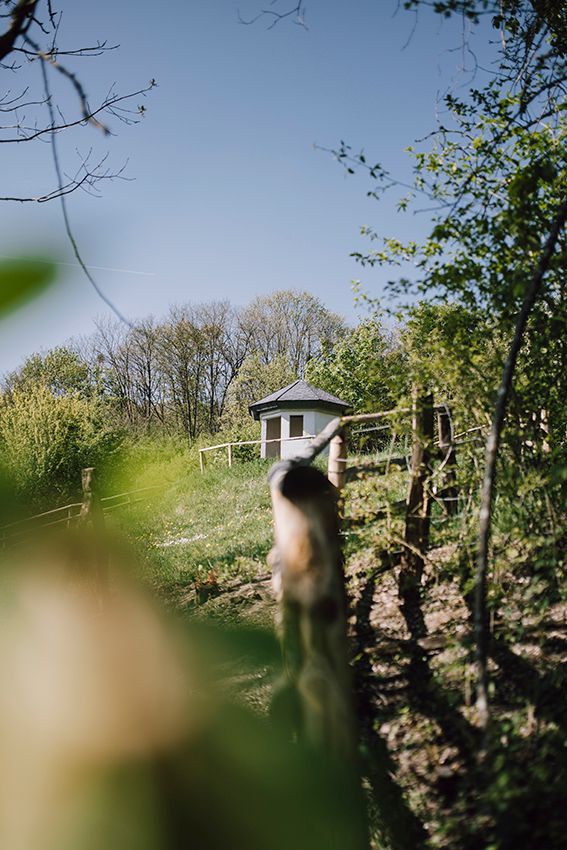
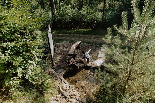
However, as well as numerous rock and cave formations, there are many other highlights on the Mamerleeën Guttland.Trail which will tempt you to relax and stop for a break, e.g. the large picnic table near the "Huellee" with its lovely view of Schoenfels Castle. 

Walk just a little further and you’ll come to the "Hunnebuer" local recreation area, a place associated with many sagas and legends.

Finally, you’ll walk through the small, unspoilt and mysterious "Wollefsgriecht" gorge, which offers welcome shade on hot summer days and is the perfect way to end this exciting circuit. 

Current conditions

Source: Visit Luxembourg, Published: 2024-05-30
Stairs & railings damaged on 'Hunnebuer' descent & ascent
Current Conditions:

The stairs and railings have been damaged by a fallen tree. The hiking trail currently requires absolute surefootedness on this section. The path is unobstructed throughout, but requires a little more attention in this section.

Suggestions nearby

Guttland.Trail Mamerleeën

  • Krounebierg - Mersch
    Krounebierg - Mersch
    Find out more
  • © Visit Guttland
    Recreational area Hunnebuer
    Recreational area Hunnebuer
    Find out more
  • © Henri Krier
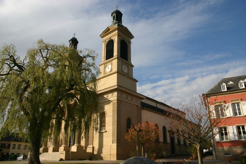
    Parish church Mersch
    Parish church Mersch
    Find out more
  • Park Mersch
    Park Mersch
    Find out more
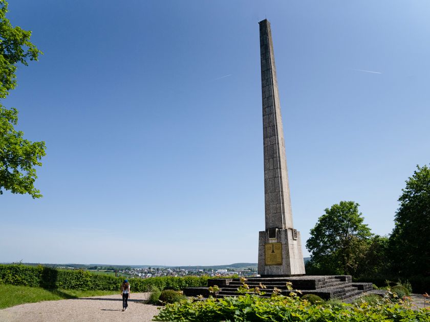
  • Independence Monument
    The Mersch Independence Monument is a commemorative monument located in the town of Mersch in Luxembourg.
    Find out more
  • © Camping Krounebierg
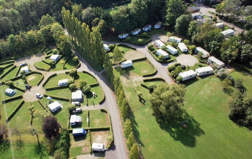
    Camping Krounebierg
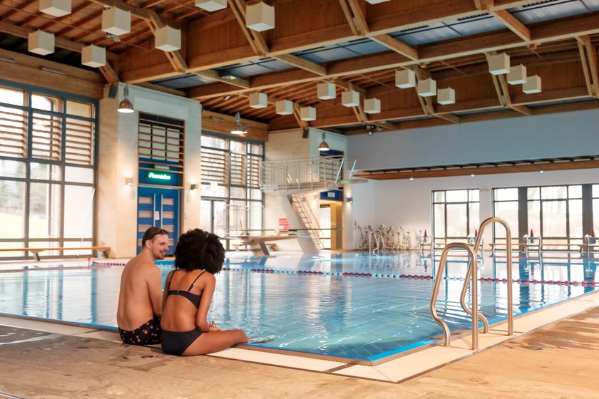
    Garden / ParkAnimation programmePets allowedParkingElectric car charging stationsPoolWifi

Similar hiking tours

© Jeniska Photography, Visit Luxembourg
Guttland.Trails
Guttland.Trail Déck Lee
Distance: 5,43 km
Duration: 1:35 h
Difficulty: medium
Find out more
© Visit Guttland
Guttland.Trails
Guttland.Trail Bildchen
Distance: 6,24 km
Duration: 2:10 h
Difficulty: medium
Find out more
© Jean-Pierre Tholl, Visit Guttland
Circular routes
Auto-pédestre trail Grosbous
Distance: 8,44 km
Duration: 2:20 h
Difficulty: medium
Find out more
© Jeniska Photography, Visit Guttland
Guttland.Trails
Guttland.Trail Schéiferei
Distance: 10,23 km
Duration: 3:05 h
Difficulty: medium
Find out more
© Jeniska Photography, Visit Guttland
Guttland.Trails
Guttland.Trail Riedergrënn
Distance: 8,82 km
Duration: 2:45 h
Difficulty: medium
Find out more
© Unknown
Circular routes
Auto-pédestre trail Nospelt II
Distance: 6,86 km
Duration: 1:53 h
Difficulty: medium
Find out more
© Alfonso Salgueiro Photography , Visit Luxembourg
Circular routes
Local Hiking Trail SA3 - Saeul
Distance: 6,39 km
Duration: 2:00 h
Difficulty: medium
Find out more
© Visit Luxembourg
Circular routes
Auto-pédestre trail Useldange II
Distance: 12,05 km
Duration: 3:04 h
Difficulty: medium
Find out more
© Guy Krier, Visit Guttland
Circular routes
Auto-pédestre trail Bettborn
Distance: 9,80 km
Duration: 2:35 h
Difficulty: medium
Find out more